
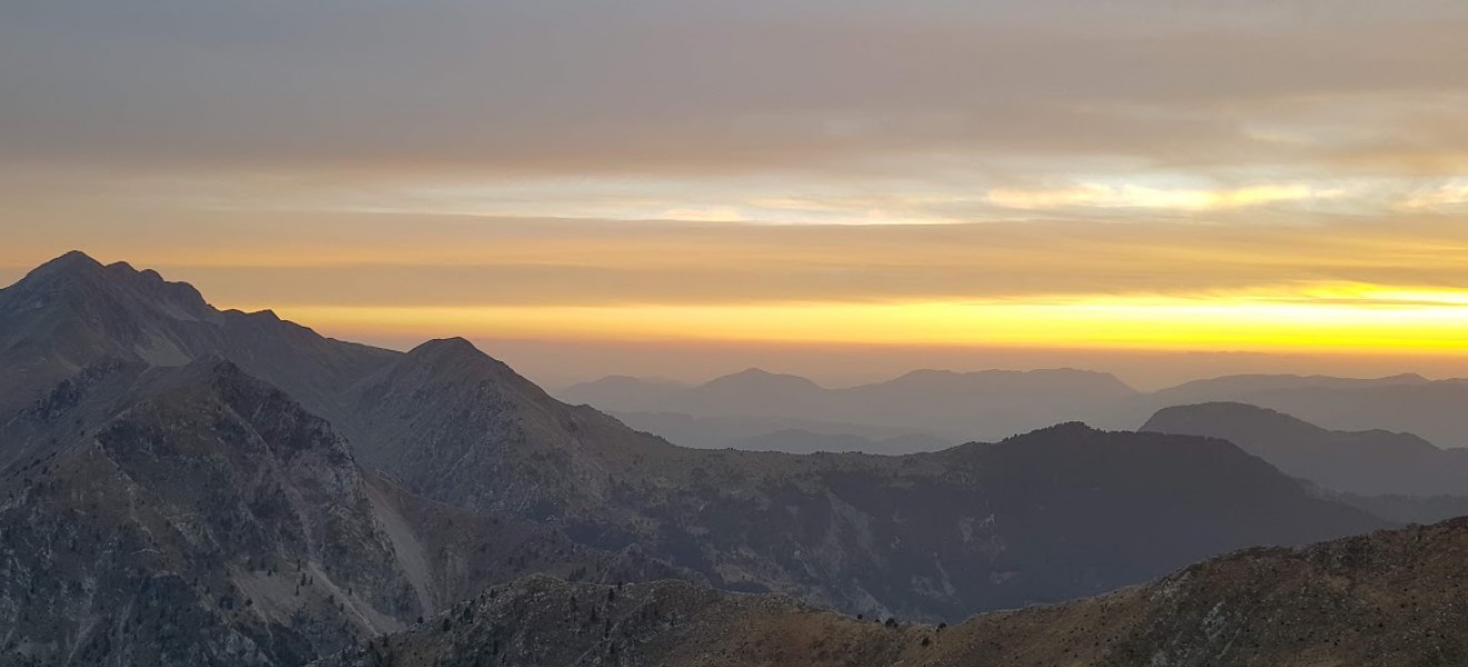
-1320x600w.JPG)
Νέα Ανάβαση stories
23 May

0
877
Άρθρο στο Business daily για τη νέα κυκλοφορία μας:
Κυκλοφόρησε ο νέος αγγλόφωνος οδηγός «Olympic Flowers», που καταγράφει τη χλωρίδα του Ολύμπου, με..
16 Dec

0
5256
ΑΝΑΡΡΙΧΗΣΗ, ΞΕΡΕΙΣ;
Το νέο βιβλίο των εκδόσεων Ανάβαση.
Για νέους που μόλις ξεκίνησαν την αναρρίχηση, αρχάριοι και μη, και θέλουν να μάθουν να σκαρφ..
05 Dec

0
5652
Βιβλιοπαρουσίαση: «Ο Κήπος μας»
Παρασκευή 12 Δεκεμβρίου στις 19:30
Χώρος: Athens Book Space
Πάρκο Ελευθερίας, Βασ. Σοφίας
(δίπλα στο Μεγαρό Μουσικ..
06 Nov

0
4078
υδρόγειος, η (ουσ.)
[από το θηλ. του επίθ. υδρόγειος* ]
1. η γήινη σφαίρα, το σύνολο των ηπείρων και των θαλασσών της Γης
2. (συνεκδ.) η σφαίρα πο..
25 Sep

0
6550
Η Γαλλική Επιστημονική Αποστολή του Μοριά: Ένα Ταξίδι στην Ιστορία και το Μέλλον της Πελοποννήσου
Σχεδόν 200 χρόνια μετά, η σπουδαία Γαλλική Επ..


Νέα Κυκλοφορία!
Μόλις κυκλοφόρησε το νέο, σκληρόδετο βιβλίο «Αναρρίχηση, Ξέρεις», ιδανικό για νέους που ασχολούνται ή θέλουν να ασχοληθούν με το σ..
23.00€
Χωρίς ΦΠΑ:23.00€


Ο Κήπος μας: Μια εικονογραφημένη περιήγηση στον Εθνικό κήπο.
Το βιβλίο «Ο Κήπος μας» της Αθηνάς Δεληγιάννη αποτελεί μια σύγχρονη εικονογραφημένη πρ..
18.00€
Χωρίς ΦΠΑ:18.00€


Πακέτο με 4 χάρτες και έναν ορειβατικό οδηγό για τη Γκιώνα, τα Βαρδούσια και τον Παρνασσό: Γκιώνα Βαρδούσια (χάρτης), Γκιώνα-Βαρδούσια-Παρνασσός (ορει..
32.00€
Χωρίς ΦΠΑ:32.00€
")
Όταν κάνεις σκι στην Ελλάδα, μυρίζει θαλασσινή αύρα. Άλλωστε η θάλασσα δεν είναι ποτέ μακρία.
Ο πρώτος οδηγός για το ορειβατικό σκι στην Ελλάδα κυ..
18.90€
Χωρίς ΦΠΑ:18.90€

Το πακέτο περιλαμβάνει τον πεζοπορικό χάρτη του Ολύμπου μαζί με το αεροφωτογραφικό λεύκωμα Όλυμπος – 100 χρόνια..
27.00€
Χωρίς ΦΠΑ:27.00€


Πεζοπορικός χάρτης για το Πήλιο σε κλίμακα 1:45 000
Ο πεζοπορικός χάρτης Πήλιο σε κλίμακα 1:45 000 καλύπτει το σύνολο της ορεινής χερσονήσου αλλά κ..
9.50€
Χωρίς ΦΠΑ:9.50€


Πεζοπορικός χάρτης για την Ορεινή Ναυπακτία το Παναιτωλικό το Βελούχι τη Καλιακούδα και τη Νότια Ευρυτανία σε κλίμακα 1:50 000.
Τα βουνά της Ευρυτα..
9.50€
Χωρίς ΦΠΑ:9.50€

-945x1811w-250x450h.jpg "Πακέτο Ζαγόρι")
Το Πακέτο περιλαμβάνει τον πεζοπορικό χάρτη του Ζαγορίου, Βάλια Κάλντα και Μέτσοβο μαζί με τον πεζοπορικό οδηγό “Το Ζαγόρι Μου – Τόπος και Πεζοπορία”...
29.00€
Χωρίς ΦΠΑ:29.00€
")
")
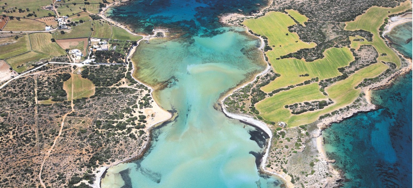
Κυκλάδες, όπως πετάει ο γλάρος δείτε την παρουσιάση του βίντεο.
Κυκλάδες, το αεροφωτογραφικό λεύκωμα που θα σας αποκαλύψει όλα αυτά που θα θέλατε ν..
44.00€
Χωρίς ΦΠΑ:44.00€
")
")
Ο απόλυτος οδηγός πεδίου για τη χλωρίδα του Ολύμπου από τον διακεκριμένο καθηγητή βοτανικής Arne Strid.
Οι Εκδόσεις Ανάβαση ανακοινώνουν την κυκλοφ..
40.00€
Χωρίς ΦΠΑ:40.00€

Free
Το παρόν βιβλίο είναι ένα εκλαϊκευμένο εγχειρίδιο φωτογραφικής αναγνώρισης των φιδιών της Ελλάδας. Σκοπό έχει να μπορεί ο αναγνώστης να αναγνωρίσει τα..
0.00€
Χωρίς ΦΠΑ:0.00€
")
This guide describes twenty high-altitude treks of 2-9 days in the mountains of Tajikistan, covering the Fann Mountains, Pamirs and northern ranges, p..
28.00€
Χωρίς ΦΠΑ:28.00€

This is the first complete English-language guide to exploring the mountains of the accessible but mysterious country of Andorra. Andorra, a tiny nati..
23.50€
Χωρίς ΦΠΑ:23.50€

Παγκόσμιος σχολικός χάρτης διπλωμένος σε από χαρτί. ..
4.50€
Χωρίς ΦΠΑ:4.50€

Χάρτης σχολικού τύπου τυπωμένος σε χαρτί και προσαρμοσμένος πάνω σε καμβά, με 2 ξύλα πάνω κάτω.
Οι χώρες απεικονίζονται με απλή χαρτογραφία, ζωγρα..
32.00€
Χωρίς ΦΠΑ:32.00€

Περιλαμβάνει ιστορικούς χάρτες 15-23
Σελίδες: 38
Διαστάσεις: 25*34..
10.00€
Χωρίς ΦΠΑ:10.00€

Προς τους κ.κ. Γενικούς Επιθεωρητάς Μ.Ε. και Επιθεωρητάς των Δημοτικών Σχολείων "Υπό του εκδοτικού οίκου Δημητράκου εξεδόθησαν εσχάτως ιστορικοί χάρτα..
10.00€
Χωρίς ΦΠΑ:10.00€

Ιστορικός Άτλας Τεύχος Α΄, Έκδοση 1900
Διαστάσεις: 25*34
Σελίδες: 34..
10.07€
Χωρίς ΦΠΑ:10.07€
-250x450h.jpg "Ζαγόρι • Βάλια Κάλντα • Μέτσοβο • Πεζοπορικός Χάρτης 1:40 000")

Το Ζαγόρι - Μέτσοβο - Βάλια Κάλντα (1:40 000) είναι ένα έργο σύνθεσης που αποτυπώνει ό,τι γίνεται στην περιοχή για κάθε υπαίθρια δραστηριότητα για το ..
9.50€
Χωρίς ΦΠΑ:9.50€
-250x450h.jpg "Όλυμπος • πεζοπορικός χάρτης 1:30 000 & 1:10 000")

Πεζοπορικός χάρτης του Ολύμπου σε κλίμακα 1:30 000 και της κορυφής του Μύτικα σε κλίμακα 1:10 000
Ο Όλυμπος είναι το ψηλότερο βουνό της Ελλάδας με..
9.50€
Χωρίς ΦΠΑ:9.50€


Πεζοπορικός χάρτης της Νότιας Πίνδου, Τζουμέρκα, Περιστέρι, Κόζιακας, σε κλίμακα 1:50.000
Ο πεζοπορικός χάρτης Νότια Πίνδος [3.2/4.2] Περιστέρι - Κ..
9.50€
Χωρίς ΦΠΑ:9.50€
, Σμόλικας, Βόιο, Βασιλίτσα • Πεζοπορικός χάρτης 1:40 000")
, Σμόλικας, Βόιο, Βασιλίτσα • Πεζοπορικός χάρτης 1:40 000")
Πεζοπορικός χάρτης για το Γράμο, το Σμόλικας, το Βόιο και τη Βασιλίτσα σε κλίμακα 1:40 000.
Η ψηλότερη κορυφή είναι η Τσούκα Πέτσικ με υψόμετρο 252..
9.50€
Χωρίς ΦΠΑ:9.50€


Πεζοπορικός χάρτης για τα Άγραφα σε κλίμακα 1:50 000
Ο νέος χάρτης Άγραφα σε κλίμακα παρουσιάζει για πρώτη φορά σε μία όψη ολόκληρη την οροσειρά τω..
9.50€
Χωρίς ΦΠΑ:9.50€


Νέος και ενημερωμένος το 2024 πεζοπορικός χάρτης για την Πάρνηθα σε κλίμακα 1:25 000.
Στο πίσω μέρος του χάρτη υπάρχει χάρτης σε κλίμακα 1:10.000 γ..
9.50€
Χωρίς ΦΠΑ:9.50€
-250x450h.jpg "Λευκά Όρη - Σφακιά / Πάχνες • Πεζοπορικός χάρτης 1:25.000")

Πεζοπορικός Χάρτης Λευκά Όρη - Σφακιά / Πάχνες σε κλίμακα 1:25.000
O νέος πεζοπορικός χάρτης Λευκά Όρη - Σφακιά/Πάχνες περιλαμβάνει όλο το συγκρότ..
9.50€
Χωρίς ΦΠΑ:9.50€

Πεζοπορικός χάρτης των βουνών Γκιώνα και Βαρδούσια σε κλίμακα 1:25.000
Ο χάρτης Γκιώνα - Βαρδούσια 1:25.000 δεν είναι η νέα έκδοση του χάρτη Γκιών..
9.50€
Χωρίς ΦΠΑ:9.50€