

Χάρτες Ανάβαση μέσα στην εφαρμογή Avenza Maps
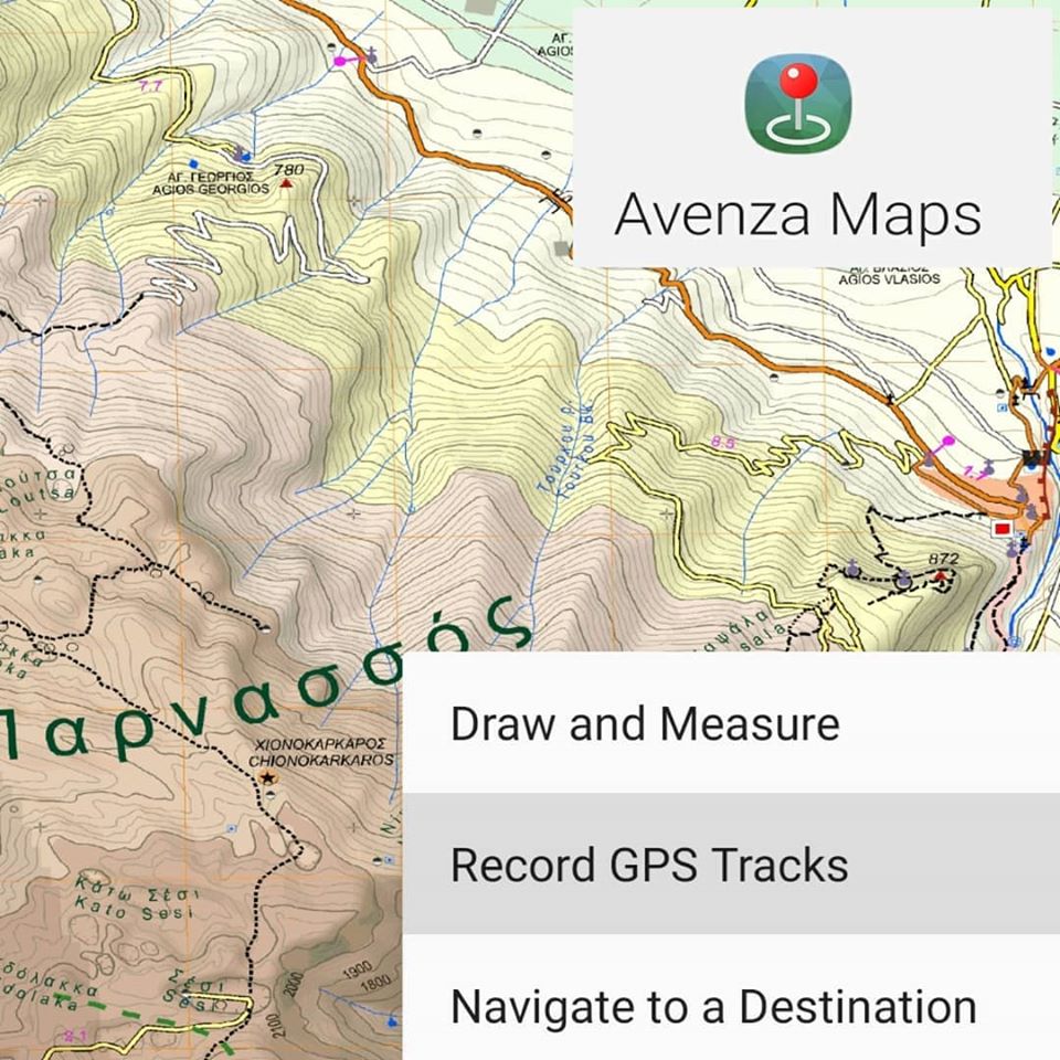
Η εφαρμογή Avenza Maps διαθέτει δυνατότητες πλοήγησης και χαρτογράφησης που σας να σχεδιάσετε και να απολαύσετε υπαίθριες περιπέτειες σε απομακρυσμένες περιοχές, ακόμη και χωρίς σύνδεση στο Διαδίκτυο ή στο δίκτυο. Ξεκινήστε βρίσκοντας έναν χάρτη στο Avenza Map Store και μετά αφήστε την περιπέτεια να ξεκινήσει!
ΚΑΤΕΒΑΣΤΕ 3 ΧΑΡΤΕΣ ΑΝΑΒΑΣΗ χρησιμοποιώντας τη δωρεάν έκδοση της εφαρμογής. Όλα ξεκινούν με τη λήψη του ψηφιακού χάρτη από την ιστοσελίδα anavasi.gr ή από το Avenza Maps Store - υψηλής ποιότητας χάρτες διαθέσιμοι εκτός σύνδεσης. Όλοι οι χάρτες είναιγεωαναφερμένοι και έτοιμοι να χρησιμοποιηθούν στην επόμενη περιπέτεια "εκτός δικτύου".
ΒΡΕΙΤΕ ΤΗ ΘΕΣΗ ΣΑΣ ΣΤΟΝ ΧΑΡΤΗ Βρείτε την τοποθεσία σας σε χάρτη ακόμη και χωρίς σύνδεση WiFi ή δικτύου. Οι ψηφιακοί χάρτες Ανάβαση είναι γεωαναφερόμενοι, πράγμα που σημαίνει ότι το GPS στην κινητή συσκευή σας μπορεί να χρησιμοποιήσει την τοποθεσία σας για να σας εντοπίσει στον χάρτη με μια μπλε κουκκίδα και η κουκκίδα σας ακολουθεί καθώς προχωράτε.
ΒΡΕΙΤΕ ΤΙΣ ΣΥΝΤΟΝΙΣΜΕΣ ΣΑΣ Δείτε τις ακριβείς συντεταγμένες GPS της τοποθεσίας σας ανά πάσα στιγμή, ώστε να μπορείτε να αναφέρετε την τοποθεσία σας εάν χρειάζεστε βοήθεια ή για να εντοπίσετε με ακρίβεια σημεία ενδιαφέροντος. Μπορείτε επίσης να αναζητήσετε συγκεκριμένες συντεταγμένες στο χάρτη και να κάνετε εναλλαγή μεταξύ συστημάτων συντεταγμένων.
ΜΕΙΝΕΤΕ ΜΕΣΑ Η ΕΚΤΟΣ ΤΟΥ "ΚΟΥΤΙΟΥ" ΧΑΡΤΟΓΡΑΦΗΣΗΣ Δημιουργήστε ένα γεωφρακτικό γύρω από μια συγκεκριμένη τοποθεσία, ένα κομμάτι ή μια περιοχή και λάβετε ειδοποίηση όταν πλησιάζετε ή απομακρύνεστε από αυτό. Χρησιμοποιήστε αυτήν τη λειτουργία για να βεβαιωθείτε ότι παραμένετε στο μονοπάτι ή ότι δεν βρίσκεστε σε επικίνδυνες περιοχές.
ΚΑΡΦΙΤΣΕΣ ΕΝΔΙΑΦΕΡΟΝΤΟΣ Τοποθετήστε μια σήμανση μέρους στο χάρτη σε τοποθεσίες που έχετε επισκεφτεί ή θέλετε να επισκεφτείτε. Σημειώστε τη θέση των αντικειμένων, των κινδύνων ή οτιδήποτε άλλο θέλετε να θυμάστε. Επεξεργαστείτε το χρώμα των σημάνσεων μέρους και επισημάνετε τα για εύκολη ανάγνωση.