
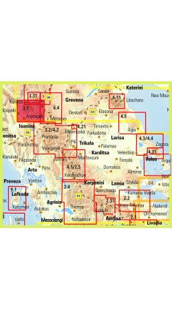
Hiking map for Zagori, Valia Kalda and Metsovo in a scale of 1:40 000
Zagori - Metsovo - Valia Kalda 1:40 000 map comprises all recent outdoor activity in the area. More than 10 mountain professionals collaborated for its update. This map is really the necessary tool for anyone traveling in the a..
9.50€
Ex Tax:9.50€


Hiking Map of Μount Ziria in scale 1:30 000.
Mount Ziria (probably from the slavic word for dawn) or Kilini or Cyllene as it was called in Ancient times, is the second highest mountain in the Peloponnese at 2374 m.
Despite its high altitude by Greek mountains standards, it has mild relief and ..
9.50€
Ex Tax:9.50€


The new ADVENTURE ATLAS of Crete by Anavasi in the scale of 1:50 000 is the ultimate tool to discover the island.
Plan you adventures in Crete and go hiking, canyoning, climbing, swimming on beautiful beaches, explore abandoned villages, minoan peak sanctuaries, cave-churches, byzantine and ottom..
22.90€
Ex Tax:22.90€