
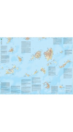
Road & Touring Map of the Cyclades and the Argosaronikos Gulf at a scale of 1:200,000.
The Cyclades & Argosaronic Map covers the areas of Attica with the Argosaronic islands of Salamina, Aegina, Hydra and Poros, as well as all the Cycladic islands, printed on 2 sides with overlap. A very us..
9.50€
Ex Tax:9.50€

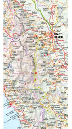
Road & Touring Map of the Peloponnese at a scale of 1:200,000.
Planning a road trip in the Peloponnese? This is the map to take with you. Recently updated, it shows all cities, towns and villages, as well as the road network in great detail. In it you can also find our top 10 nature escapes in t..
9.50€
Ex Tax:9.50€


Road & Touring Map of Central Greece at a scale of 1:230,000.
This map covers half of mainland Greece, from Konitsa to Katerini in the north and from Messolongi to Thiva in the south. It includes all new motorways (Egnatia, Ionian, Central Greece, Athens-Thessaloniki), shaded relief showing all ..
9.50€
Ex Tax:9.50€


This road and touring map of Macedonia, at a scale of 1:230,000, is more than just a simple navigation tool. It's a comprehensive guide that helps you discover the region in depth.
Beyond the basic elements, such as the road network, settlements, and municipal boundaries, the map includes many de..
9.50€
Ex Tax:9.50€


Road Map of Thrace and North Aegean at scale 1:230.000
The Thraki-North Aegean map guides us to areas of Greece with a rich history and important ecosystems. On the one side, Eastern Macedonia & Thrace where Ancient, Byzantine and Ottoman monuments coexist with the virgin forests of the Rhodope m..
9.50€
Ex Tax:9.50€


The Road & Touring Map of Crete at a scale of 1:280,000 is ideal for organizing your trip to the island.
On one side of this pocket map, you will find a detailed map of the island with the entire road network, attractions, monasteries, Minoan palaces and popular beaches. On the reverse side you ..
3.50€
Ex Tax:3.50€


The new ADVENTURE ATLAS of Crete by Anavasi in the scale of 1:50 000 is the ultimate tool to discover the island.
Plan you adventures in Crete and go hiking, canyoning, climbing, swimming on beautiful beaches, explore abandoned villages, minoan peak sanctuaries, cave-churches, byzantine and ottom..
22.90€
Ex Tax:22.90€
Showing 1 to 7 of 7 (1 Pages)