Search Criteria
Products meeting the search criteria


Road & Touring Map of Central Greece at a scale of 1:230,000.
This map covers half of mainland Greece, from Konitsa to Katerini in the north and from Messolongi to Thiva in the south. It includes all new motorways (Egnatia, Ionian, Central Greece, Athens-Thessaloniki), shaded relief showing all ..
9.50€
Ex Tax:9.50€


This road and touring map of Macedonia, at a scale of 1:230,000, is more than just a simple navigation tool. It's a comprehensive guide that helps you discover the region in depth.
Beyond the basic elements, such as the road network, settlements, and municipal boundaries, the map includes many de..
9.50€
Ex Tax:9.50€


Road Map of Thrace and North Aegean at scale 1:230.000
The Thraki-North Aegean map guides us to areas of Greece with a rich history and important ecosystems. On the one side, Eastern Macedonia & Thrace where Ancient, Byzantine and Ottoman monuments coexist with the virgin forests of the Rhodope m..
9.50€
Ex Tax:9.50€


The Road & Touring Map of Crete at a scale of 1:280,000 is ideal for organizing your trip to the island.
On one side of this pocket map, you will find a detailed map of the island with the entire road network, attractions, monasteries, Minoan palaces and popular beaches. On the reverse side you ..
3.50€
Ex Tax:3.50€
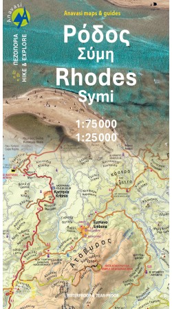

Hiking map of Rhodes island in a scale of 1:75.000 and Symi in a scale 1:22.000
Rich in natural and cultural heritage, Rhodes (or Rodos) reveals all its wealth in this new map of Anavasi. From the medieval city in the north to the exotic Prasonisi island in the southern tip, one can find ancient ..
8.50€
Ex Tax:8.50€

Rhodes, the chosen one of Helios (god of the Sun), is blessed with beautiful countryside and exotic beaches. With its natural beauty, Rhodes over the centuries has charmed its conquerors, who in their turn adorned the island with magnificent buildings, from the ancient acropolises and the knightsΆ c..
22.00€
Ex Tax:22.00€


Hiking map of Samaria , Sougia and Paliochora in a scale of 1:25.000
The entire course of the Samaria gorge, the ascent of Mt Gigilos and Volakias, the traverse from Aghia Roumeli to Soughia (a beautiful and serious route) as well as other interesting routes are presented with detailed comments a..
9.50€
Ex Tax:9.50€


Discover the island of Pythagoras with Anavasi’s high-precision 1:45,000 hiking map of Samos. Developed through extensive field research in collaboration with the University of Bordeaux Montaigne and the Samos Fire Service, this map features 32 marked trails and 8 curated hiking routes. Printed on w..
8.50€
Ex Tax:8.50€


Hiking map of Santorini island in a scale of 1:25 000
As you enter the caldera of Santorini by ferry sheer cliffs rise up dramatically, exposing richly coloured rock strata, crowned by the colored houses of the cliff-top settlements. Equally magnificent is the sunset from the heights of the calde..
8.50€
Ex Tax:8.50€


Hiking map of Serifos island in a scale of 1:25.000
The new edition of Serifos is more detailed on a larger scale. On the back side of the map we have added some aerial photos of its beautiful Chora and of some beaches. Since ancient times, the chief source of wealth on Serifos has been its iron ..
6.50€
Ex Tax:6.50€


Hiking map of Sifnos island in a scale of 1:25.000
Sifnos is a beautiful cycladic island with countless churches, beautiful coasts with crystal clear waters as well as a rich history. Apart from its Cycladic beauty, Sifnos is the perfect hiker’s island, with a dense network of well-maintained and..
6.50€
Ex Tax:6.50€
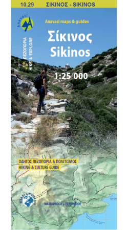
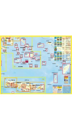
Hiking Map of Sikinos at a 1:25000 scale
Sikinos is one of the most peaceful islands of the Cyclades.
A truly minimalist but authentic landscape, where the signs of a primitive production system are slowly fading away.
Sikinos' network of 7 hiking trails was upgraded by the Municipality in 2025..
6.50€
Ex Tax:6.50€